
Trace a Moon Township Street
A Moon Township by-street search works best one street segment at a time. The County property screen is keyed to an address or parcel number, not to every name connected with a road. A broad street-name result is therefore a parcel list. It can identify properties that need individual review, but it does not prove who occupies each structure. Treat the physical parcel, a recorded owner, and a voter record as different kinds of evidence.
- Open the Allegheny County Real Estate Portal in Address mode. Enter the road name without its suffix, add a house number when known, and select Moon Township when a shared street needs narrowing.
- Save the returned parcel identity, including the PIN or map-block-lot reference, physical location, and legal-description clues. Do not replace those identifiers with a mailing address.
- Search the same address in the County GIS Viewer. Click the parcel, inspect its boundaries, and pan along the road before opening the next parcel.
- Use the land-record trail for the selected parcel. A recent deed can supply grantor, grantee, document reference, legal description, and a prior-deed citation.
- For a lawful election-related request, use the state Street List or Walking List process. For an older address, verify a regional reverse directory actually covers Moon before treating it as address evidence.
That sequence keeps the address, parcel, document, and registered-voter channels in their proper roles. It also prevents a parcel map from being mistaken for a household list.
Note: Preserve the address form, PIN, and legal-description details at each step so later record checks remain tied to the same parcel.
Moon Township Street Directory Search Fields
The public property screen is the strongest start for a known Moon Township street. It offers Address and Parcel Number modes. In Address mode, the Street Name instruction is unusually important: enter the base name without Dr., Cir, Street, or another suffix. Municipality is optional, but selecting Moon Township is useful where the same road name appears elsewhere in Allegheny County. The inspected public screen did not provide an owner-name field.
The property-search screen shown below is the source for these controls. A result should be opened as a parcel record, not read as proof of a current household.
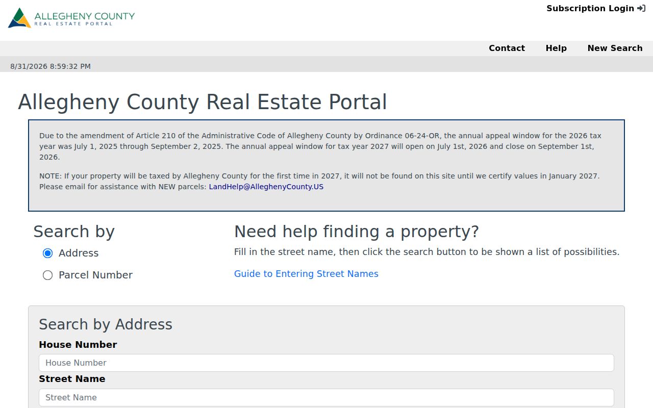
Its address and parcel choices show why a Moon Township street search starts from a place already known, rather than from a name-only query.
| Property control | Type | When to use it | Moon Township note |
|---|---|---|---|
| Search by: Address | Mode | Known street or house number | Active address workflow on the inspected screen. |
| Search by: Parcel Number | Mode | Known County parcel identifier | Use the PIN or parcel reference exactly as recorded. |
| House Number | Text | Narrow a street result | The portal recommends beginning with the street name. |
| Street Name | Text | Find a street segment | Leave off suffixes such as Dr., Cir, and Street. |
| Municipality | Optional dropdown | Resolve a shared road name | Choose Moon Township when appropriate, or leave it blank if unknown. |
| Search | Button | Run the query | Returns current address or parcel results. |
Note: A first-time County-taxable parcel for 2027 may not appear until the County certifies values in January 2027.
Moon Township Parcels Are Not Households
The key limitation in a Moon Township street directory is simple: an assessment parcel is land and property data, not a roster. The County documents up to three address lines on a parcel card. Physical Property Location, also called the situs, is where the parcel lies. Owner Mailing is an assessment-notice contact. Tax Mailing can be a different correspondence address when taxes are handled through escrow. Neither mailing line proves that the recipient lives at the property.
This is the local misconception worth keeping in view. A street result can omit people who have no recorded property interest. It may also show an owner who lives somewhere else. Homestead information is only a limited tax-program clue when it appears on an official card. It is not a way to name a household.
Walk a Moon Township Street in GIS
The GIS Viewer adds location context that the property screen cannot supply. Search an address, select its parcel polygon, then turn available layers on or off. The County describes address searching, parcel display, pan and zoom, basemap changes, measuring, printing, and sharing. Pan along a Moon Township street and select adjoining polygons one at a time. The measure tool is useful for understanding a boundary, not for establishing a survey line.
The published County parcel service supplies the map-side identifiers used in this route.
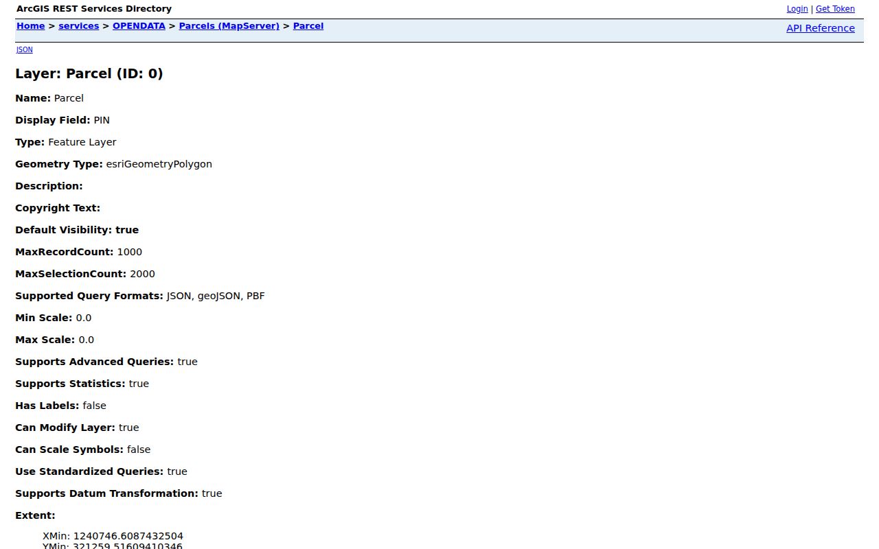
PIN and Map Block Lot are practical bridges from the Moon Township street view to an individual property record and then to a deed or plan reference.
If a displayed boundary conflicts with the address or a visible building footprint, preserve the PIN and ask the relevant custodian rather than guessing. County Address Management maintains the 911 dataset used by County systems, while Moon Township has the authority to assign or correct local addresses.
Note: A map selection is a location aid, so verify the selected parcel in the Property Portal before requesting a land record.
Moon Township Street Record Coverage
Several official records are keyed to an address, but each answers a narrower question. Use the address and PIN to connect them without treating the collection as one unified residents directory. The coverage below separates the County property, map, land-record, municipal, and election channels.
| Address record | Custodian | Street-level use | Access and limit |
|---|---|---|---|
| Current property record | Allegheny Office of Property Assessments | PIN, situs, mailing channels, assessment, building data | Free address or parcel search; no public owner-name search inspected. |
| Parcel geometry | Allegheny GIS | Polygon, PIN, Map Block Lot, municipality code | Address search and map click; no household names. |
| Deeds and plans | Division of Real Estate | Recorded parties, legal descriptions, lot and plan links | Online/copy routes, counter, mail, and historic index books. |
| Permits, code, and COA files | Moon Community Development | Work or review tied to a particular address | Department or RTKL request; no public search interface verified. |
| Street and Walking Lists | Pennsylvania Department of State | Registered-voter information by street | Request and statutory certification required; not every resident appears. |
For a single person rather than a full street, the Moon Township resident lookup uses a different verification sequence. Its name-first angle should not be forced onto an address-only property portal.
Follow a Moon Township Street Deed
Land records supply the recorded-title part of a street search. Start with the parcel’s current legal description and most recent conveyance. Note the grantor, grantee, recording date, document number or deed-book reference, municipality, plan or lot citation, and prior-deed reference. Search the cited earlier instrument, then verify the link again. A nearby deed is not automatically the deed for the next parcel on a street.
The County recording-documents page illustrates the County’s formal land-record process.
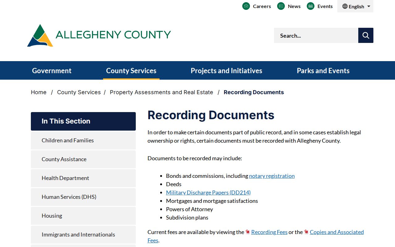
The image is a reminder that recording, copying, and researching documents are distinct tasks. County staff cannot give legal advice about a deed.
Allegheny County says deeds are available from 1789, and deed-index books are kept in the Division of Real Estate. That is the historic fallback when the current online path does not reach an earlier record. Copies may be obtained in person in Room 101 of the County Office Building, by mail request, or through County online copy routes. The land-record help number published by the County is 412-350-4636, option 2.
Read Moon Township Address Terms
Street-level work becomes more reliable when each label keeps its meaning. A deed may retain a legal description even after an everyday street label changes. A map can show a parcel’s geometry while the property portal shows assessed fields. The following terms prevent a mailing contact or plan reference from being read as something it is not.
- Parcel
- A County-identified piece of real property, commonly carried through the research trail with a PIN or map-block-lot reference.
- Situs address
- The physical property location, meaning where the parcel lies. It is different from owner and tax mailing lines.
- Plat or subdivision plan
- A recorded map or plan that can connect a street address to a lot, block, or plan-book reference.
- Criss-cross directory
- A reverse-style directory arranged by address rather than surname, useful only after a volume’s Moon coverage is confirmed.
Moon Township Street Permit Files
Moon Community Development is the municipal channel for property improvement, land development, and code enforcement. A focused request can name a street number, project type, and narrow time span, then ask for an existing permit, certificate, inspection result, enforcement notice, zoning record, or subdivision file. The Township has not been documented as providing a public permit or code-case search portal, so a request should not promise instant online results.
The County Address Management page explains the related division of responsibility.
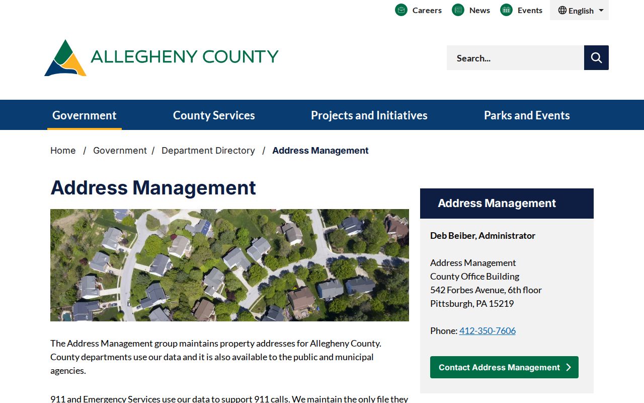
Address Management maintains the Countywide 911 file, but the municipality makes a new-address or correction decision. That distinction is useful when a permit address and a County map do not agree.
Use Moon’s public service and open-records route for a definite municipal file. The Township Municipal Building is the correct local door for that request, not for deeds or County assessment records.
Note: A precise address, record type, and time range give the Township a usable request without implying that a name-based permit index exists.
Mooncrest Street Review Records
Mooncrest adds a narrow, local record layer to the Moon Township address trail. The Township says this war-production residential community was developed in 1943 and was designated a local historic district in 2005. Work there can require a Certificate of Appropriateness before certain additions, alterations, reconstruction, or demolition proceed. Related district-review or preservation files can help date a project, but they do not identify a current household.
The Township’s preservation material reports 147 historic resources across 14 neighborhoods. Use that context to ask for a specific historic-resource inventory or review file. Do not assume that an ordinary tax card captures the same evidence.
Moon Township Street List Rules
Pennsylvania has a lawful by-street election-record route, but it is limited. The Department of State’s Street List includes county voters’ names, residential and mailing addresses, party, and active or inactive status. The Walking List is the Street List without mailing addresses. These records describe registered voters in the requested list. They do not establish every adult at a Moon Township address, a household relationship, or a person’s political views.
Use the Pennsylvania voter-list request form and follow its certification. The Full Voter Export is priced at $20, while the form directs requesters to comply with limits tied to election, political-activity, and law-enforcement purposes. Protected voters and Address Confidentiality Program participants may have substitute-address protections.
Moon Township Reverse Directory Check
A criss-cross directory may add a past address-to-name layer, but Moon Township coverage must be proved volume by volume. Moon Township Public Library has not published a verified local reverse-directory run. Historic Pittsburgh and Carnegie’s Pittsburgh city-directory microfilm are regional resources. First confirm that a title and year include Moon or the relevant historical locality, then check whether that edition has a reverse or street section.
Record the edition year, page, exact street number, and the volume’s abbreviation key. A surname in an alphabetical directory without a street listing does not prove absence from an address. For historical volumes and their limits, use the Moon Township city directory collections rather than assuming every Pittsburgh-labeled book covers the Township.
Note: Keep the volume title and page with each transcription because directory coverage and abbreviation meanings can change between editions.
Limits of a Moon Township Street Directory
Address records have firm public boundaries. The property portal does not list every person associated with a parcel, utility customers, postal delivery information, or DMV residential addresses. A title owner can live elsewhere, and a mailing address can be an escrow or substitute contact. GIS geometry is not a deed image, and a deed does not prove every person who resided at a property.
Historical continuity needs the same care. No authoritative Moon Township-wide street renumbering, renamed-street table, or readdressing year was identified in the research. Instead, a historical record may use an earlier municipality, a Coraopolis-style postal designation, a plan or lot, or a predecessor jurisdiction. Original Moon began with 143 square miles and later produced 55 municipalities. Follow the legal description and date rather than inventing a modern street-number match.